Why I Built It
Every GPX editor I tried over the years had the same problems: clunky interfaces, laggy performance when editing more than a few waypoints, and workflows that felt like they were designed in 2005. I needed something fast that could handle the hundreds of points in a typical day-long cycling route without getting in my way.
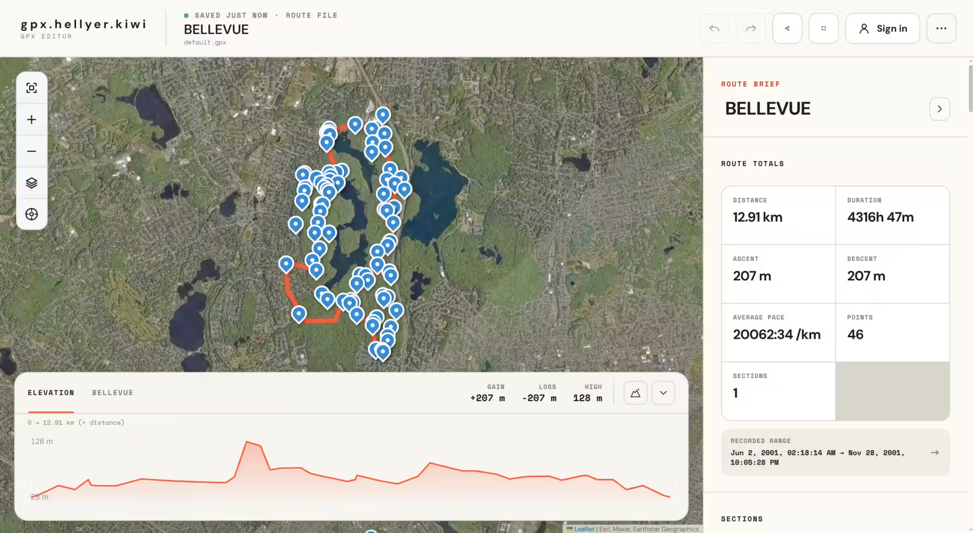
This editor prioritizes speed above everything else. Drop a route file in, click to add or adjust points, and the map responds instantly. The toolchain is TypeScript on the frontend for snappy interactions, with a Laravel backend handling accounts and persistent route storage.
What You Can Do
- Plot & edit routes: Click on the map to add points, drag to reposition them, or bulk-edit existing tracks. Works smoothly with hundreds of waypoints.
- Elevation tools: Automatic elevation correction that pulls real terrain data, plus a visual elevation profile graph so you know what climbs are coming.
- Organize with sections: Break long routes into named segments — approach, climb, descent, cafe stop — to keep multi-day trips manageable.
- Live GPS tracking: See your current position on the map in real time during a ride, with a one-click "jump to my location" button.
- Flexible saving: Use local browser storage for quick one-off edits, or create an account to save routes permanently across devices.
- Export anywhere: Download your finished route as GPX (for GPS devices), KML (for Google Earth), or GeoJSON (for custom tooling).
- Quality-of-life features: Undo/redo, keyboard shortcuts, dark mode, full-screen editing, and multiple background map layers.
Availability
GPX Editor is a work in progress — I'm actively building and improving it, so expect rough edges. It's currently free to use, and hopefully useful to anyone planning cycling or hiking routes. Give it a go at gpx.hellyer.kiwi.